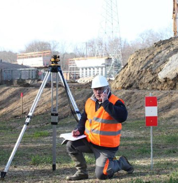
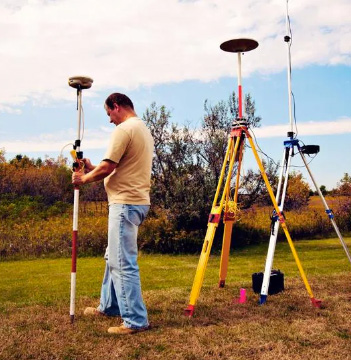
Professional Engineer and Land Surveyors
Professional Engineer and Land Surveyors
Boundary survey means measurement of an existing boundary to know exact extent and dimensions.

Subdivision survey means subdividing a land into 2 or more parts similarly layout survey means subdividing a land into numerous parts into a layout of sites.

Stakeout survey means marking the exact position of a boundary / internal points in the land.
Topographic survey means measuring all topographic and man-made features positions like buildings, bore well, EB lines, Trench, Trees, man holes, etc.

Contour survey means measuring the level differences in the land in a grid format, it is mostly carried out in hilly terrain

Interior survey means measuring a built-up area internally to have exact blueprint of the existing construction. It covers all the door, window positions and Internal amenities, it is helpful in Industrial buildings.

Levelling survey means marking the desired level in an undulating terrain. The desired levels may be same or standard deviating.

Earth work and volume calculation means in a contour surveyed field incase if it is needed to be flattened, then we have to calculate where we have to cut and fill and the volume of cutting and filling.
Dhyanalinga Surveyors is the most prominent land surveying company in Coimbatore, was established in the year 2015.
© 2024 Dhyanalinga Surveyors All rights reserved
