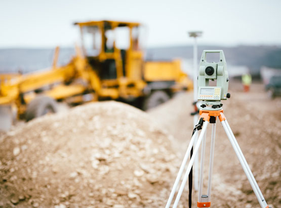
Topographic Survey
Topographic survey means measuring all topographic and man-made features positions like buildings, bore well, EB lines, Trench, Trees, man holes, etc. A topographic survey locates all surface features of a property, and depicts all-natural features and elevations. In essence it is a 3-dimensional map of a 3-dimensional property showing all natural and man-made features and improvements.
Specifically, it shows their location, size, height and any changes in elevation. A topographic survey report will consist of every data which is present on the land.


 English
 Deutsch
 العربية
 中文
中文


